History of Six Gap North Georgia
The Double loop of this scenic destination has seen a lot of history.
Blood Mountain
At the center is Blood Mountain. With an elevation of 4,458 feet it is the highest mountain on the Georgia section of the Appalachian Trail. The origin of the name has several stories. One contends that there was a long, bloody battle between the Cherokee and Creek Indians when the mountain turned red with blood. There were a number of conflicts between the two tribes so it is hard to determine which attributed to the naming of Blood Mountain.
Appalachian Trail
The Appalachian Trail is some 2,185 miles long stretching from Springer Mountain in Georgia to Mount Katahdin in Maine. Constructed in segments, the first section opened in 1923 with completion in 1937. It is managed by the National Park Service.
At Neels Gap (formerly Frogtown Gap), near Blood Mountain, the Appalachian Trail crosses US 129 and passes right through a breezeway of the log cabin store. It is the only place the Appalachian Trail passes through a man-made structure.
Early Inhabitants
The earliest civilization in the north Georgia area were the Moundbuilders dating from 950 AD. As their population declined in the 1300s, the Cherokee tribes began to increase in population. By 1700 the Cherokee population is estimated at between 30,000 and 50,000 members. As settlers moved into the territory the native population was severely affected by epidemics. By 1830 when the Trail of Tears began relocating the Cherokee to Oklahoma their population was estimated at 20,000.
A large Indian mound can be seen a few miles east of Helen at the GA 75/GA 17 intersection. The Nacoochee site dates to the early 1500s.
Unicoi Turnpike
The Unicoi Turnpike, originally the Cherokee Trading Path which many simply referred to it as "the old trading path", was the primary route for settlers and traders heading into what is today east Tennessee. From present day Knoxville it ran south through Vonore, Tellico Plains, crossed into North Carolina, through Murphy, along the Hiawassee River to Unicoi Gap in north Georgia, along Spoilcane Creek (GA 75), and through Helen to Nacoochee.
The road, built by James Wyly, was completed in 1819. Many sections can no longer be found.
Government Preservation
In the early 1900s the Federal Government began acquiring lands across northern Georgia. In 1936 the Chattahoochee-Oconee National Forest was formed. The natural resources featured in these 867,000 acres stretches across 26 counties.
Brasstown Bald
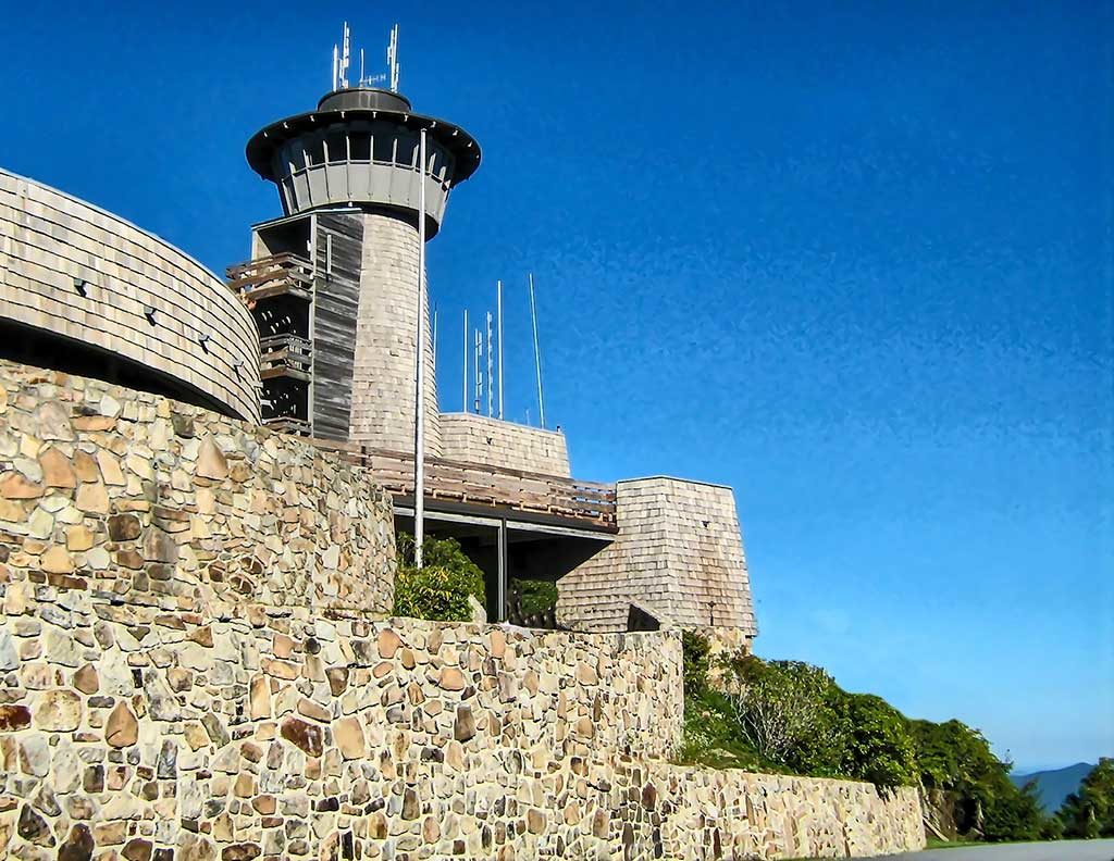
Brasstown Bald is the highest point in Georgia at 4,784 feet. It is located on the northern loop of Six Gap. Cherokee legend says this high ground was the refuge of Cherokee survivors after a big flood.
Stonepile Gap
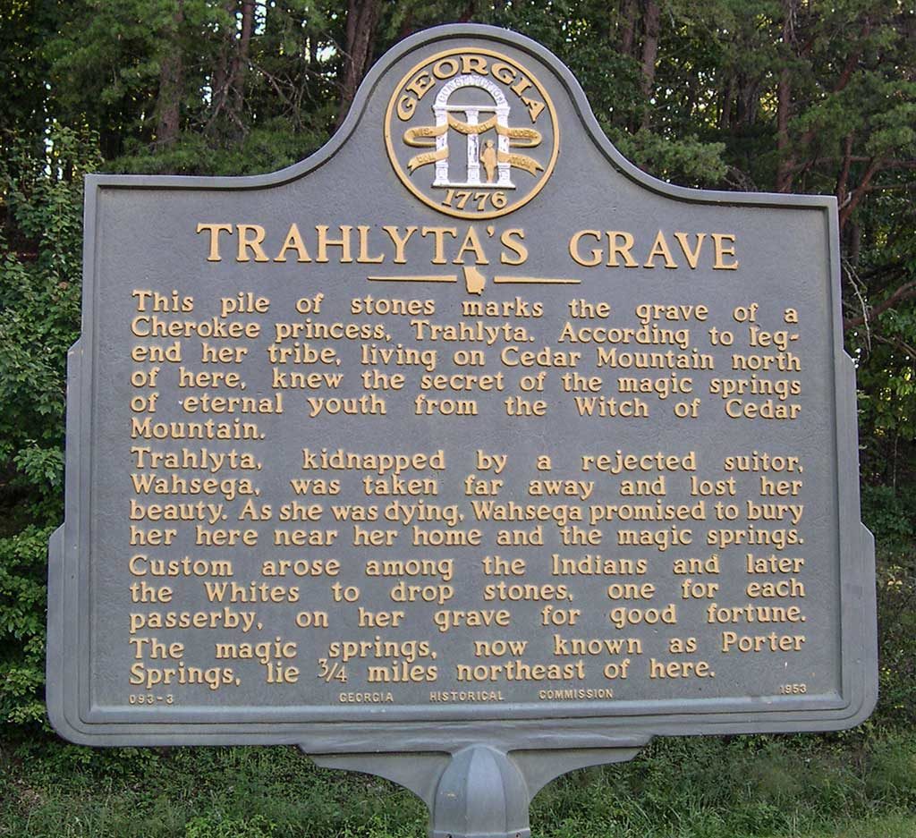
Trahlyta of Cherokee legend is said to have lived in the north Georgia mountains. The princess would drink from a nearby "fountain of youth" to maintain her renowned beauty. A warrior named Wahsega courted her, but she rejected him. The angered warrior kidnapped and imprisoned Trahlyta in some unknown location. She longed to see her home again, but her captor would not relent. Her dying wish was to be buried in the mountain forests of her birth. The historical marker at Stonepile, her supposed resting place, reads, "custom arose among the Indians and later the Whites to drop stones, one for each passerby, on her grave for good fortune." Today there is a pile of stones some six feet high.
Trahlyta's "fountain of youth" is now known as Porter Springs. Her final resting place is at Stonepile Gap.
Gold
The mountains of north Georgia have been known for many centuries as "gold country". Between 1830 and 1849 the area was flooded with miners looking to strike it rich. When word of the California Gold Rush hit the news the miners picked-up stakes and headed west.
From 1838 to 1861 the U.S. Government operated a mint in Dahlonega, Georgia. Center of the action was Auraria south of Dahlonega. Once a bustling business center with 5 hotels, 20 saloons and a newspaper, today Auraria is a crossroads ghost town.


